Kwahu State Book
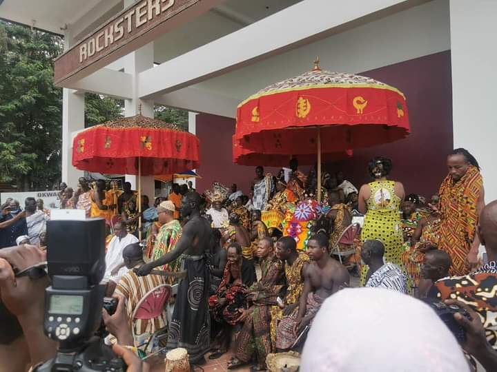
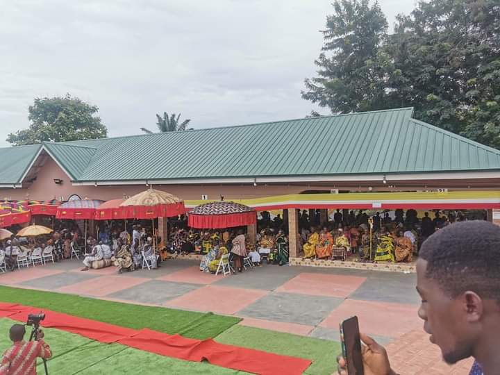
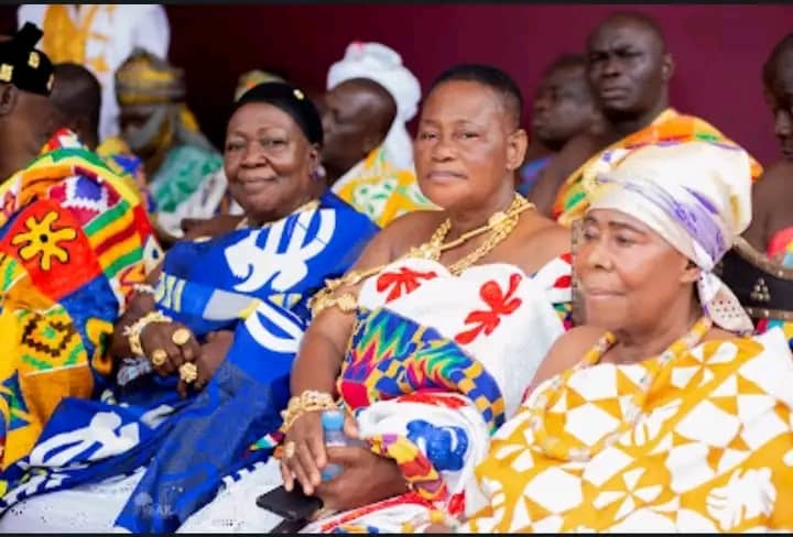
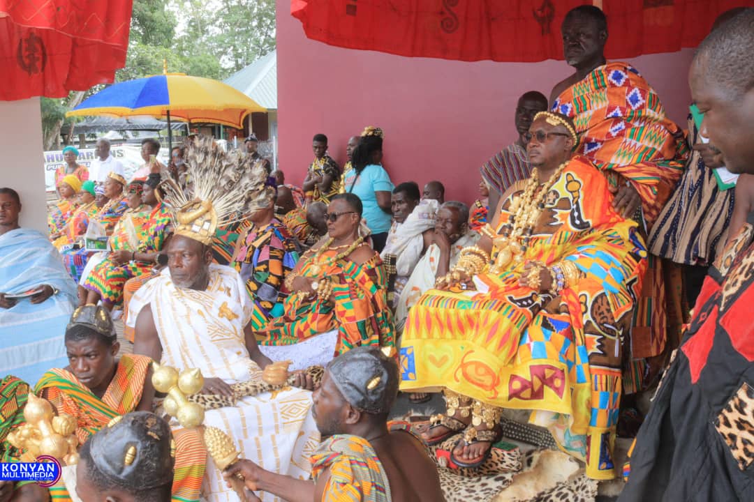
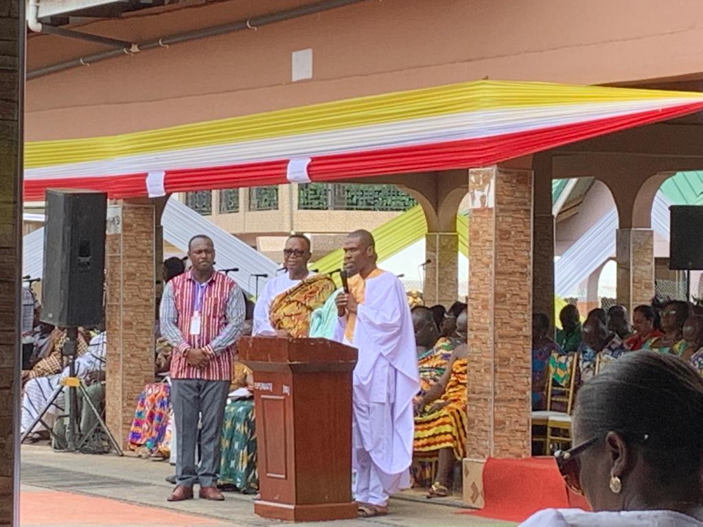
The Book was launched in Kwahu-Mpraeso on April 17th, 2022 and is arguably considered to be the biggest history book in West Africa with more than 3000 pages. The Kwahu State Book is the 5th State Book launched by the Ghana State Book Project. The execution of the project was done in effective collaboration with the Kwahu Traditional Council. The book contains histories of the Paramountcy, the divisional royal families, the sub-royal families, the affiliate royal families, service stools, Adikrofo, etc.
The book also contains histories of towns and villages in all the Municipals and Districts in Kwahu including information about churches, schools, the Muslim Community and important personalities with the Kwahu Traditional area.
In spite of the few research findings that claim Guans to be the earlier settlers on the Kwawu land before the 17th Century, the inhabitants of Kwawu are mainly Akans whose heterogeneous settlements, as witnessed today, were founded through various migrations from Adanse, Denkyira, Asante, Akyem and Akwamu. The Kwawu Afram Plains settlement entails momentous migrant population from the Northern and Volta Regions and some indigenous Guans from the bordering Oti and Brong East Regions.
The Kwawu State which was previously described as a country by the Dutch has grown to a replica of the modern-day Ashanti Kingdom. The Kwawu traditional area located in the Eastern Region of Ghana is made up of valleys and mountains, that is, lowlands and highlands. It is bounded to the north by Bono East Region (Kwame Danso), to the east by the Volta River, Ashanti Region to the west (Onyemso) and to the south by Akyem Abuakwa (Jejeti) and Akyem Kotoku (Pankese and Praso). A.E.A Asiamah in 2011 geographically divided Kwawu into three regions: the South-west Low-lands, the Kwawu Plateau, and the Afram Plains. Asiamah further explained that the South- west Low-lands is an area of undulating relief. Some places within this region are hilly with villages and towns located at the foot of the Kwawu hills. Some areas of Kwawu are thickly forested suitable for crops like cocoa, coffee, kola, oil palm, plantain, banana, cocoyam and casava. The average height is 900 feet above sea level with Nkɔkɔɔ, the chief commercial and industrial town.
The Kwawu Plateau area of Kwawu land was described as lying in between the South-west Low-lands and the Afram Plains; it portrays this magnificent sight when one viewed from Nkorkoor off the Accra-Kumasi Highway. This is where majority of popular Kwawu towns are located like Abetifi, Obo, Atibie, Nkwatia, Obomeng, Bepong, Mpraeso, etc. About 1,750 feet above sea level the place is dismembered into blocks of hills, ridges with settlements of the inhabitants separated from one another by valleys. The Afram Plains politically has two districts, the Afram Plains South and the Afram Plains North. Afram Plains is 700 feet above sea level with about 20,000 square miles of the land cut off from the main land by the Afram River into which rivers from the plains and the plateau drain. It has leaky and well-drained soil, good for commercial farming of tubers e.g. yam, tree crops and food crops like vegetables, grains and others.
The Kwawu people are known to be hard-working and business-minded and are usually found successful and wealthy in trading all over Ghana. Their ability to venture into lucrative business activities with their entrepreneurial skills is their hallmark that undisputedly runs their success. The Kwawu people are also known to have passion for building magnificent houses in communities to which they belong. With their pleasant and habitable weather on the mountain, Kwawu (Obo) is usually described as Small London. The present day Kwawu has strong heterogeneous communities grouped under five (5) traditional divisions with the seat of paramountcy at Abene. The Division of Adonten headed by Abetifi includes communities like Bokuruwa, Akwasiho, Nkami, Sadan, Aframso, Kwaekese, Asabi, Ahinase, Kofi Dede, Kwanim and other affiliate towns and villages. The Nifa division with Obo as the head, includes communities like Obomeng, Bepong, Asakraka, Nkɔkɔɔ, Pitiko, Kwawu Praso, Awenade, Tease, Danten and others. The Benkum division headed by Aduamoa also has member communities like Nkwatia, Mpraeso, Kotoso, Tafo, Jejeti, Amanfrom, Odomasua, Twerefo Faaso, Suminakese, Asikam, Asubone No.3, Oframoase, Oworobong and other affiliate villages. The division of Kyidom headed by Pepease includes towns like Twenedurase, Nteso, Ankoma, Kwawu Oda, Besease, Nkwantanang, Fodoa and others. The Gyase division is headed by Atibie with some communities under it. The title, “Gyasehene” is designated to Atibie Stool due to the fact that Abene is the overlord of Kwawuman.All the above listed towns and villages also have other towns and villages within their jurisdiction. The member communities in each of the divisions indicated above have their sub-chiefs and stool elders that form traditional bodies to govern the communities. This signifies the strength of Kwawu in the traditional settings of modern-day Ghana. The Kwawu Traditional Council is the highest traditional authority headed by Abene, the seat of paramountcy. The Kwawu State, which is located in the Eastern Region of Ghana is politically demarcated into five districts namely, the Kwawu South Municipality headquartered by Mpraeso, Kwawu West Municipality with its capital in Nkorkoor, Kwawu East District with Abetifi as capital, Kwawu Afram Plains South with Tease as capital and Kwawu Afram Plains North with Donkorkrom as the capital. All the three districts and the two municipalities fall within the jurisdiction of Kwawu Traditional State. The Kwawu South Municipality, the Kwawu East district and the Kwawu West Municipality are all located at ‘where this book will describe as the Kwawu Mainland'. The Kwawu Afram Plains South and the Kwawu Afram Plains North are both located at a place popularly described as Kwawu Afram Plains.
History: Pre-Kwawu Settlement
The settlement of the first inhabitants of the present Kwawu land is still a mystery, shrouded in a limited oral tradition, with no existing written records. That is to say, limited research findings are available about the first inhabitants of the land of Kwawu. However, Kyeremanteng quoted B.T Shaw's excavations in the cave of Bosompra (1944) and indicated that the land of Kwawu was inhabited long before the arrival of the Guans, who are believed to be aborigines of Ghana. In a document titled, “The Archaeology and Early History of Kwawu and National Development” by James Anquandah, 31st May, 1980, some archaeological reports and oral tradition about the early settlement of Kwawu was captured as follows:*** In the quest for knowledge on Ghana's past, one of the very first sites in Ghana to be excavated scientifically by archaeologists was the Bosompra Cave in Abetifi. In 1942, Thurstan Shaw, then a teacher at Achimota College, excavated Bosompra Cave and collected a large quantity of cultural material which showed that the cave had been occupied first by stone age people, who produced stone implements and crudely made local domestic pottery. Later on, the cave was occupied by people who made smoke-glazed pottery, which closely resembled that of the pottery of modern Kwawu (Shaw, 1944).
Caves and rock shelters are noted for relatively better preservation of ancient cultural materials, which throw light on early subsistence economies and the preservation of ancient organic materials which can be processed for scientific dating. Thus, in 1973, another archaeologist, Andrew Smith, took advantage of the new methods of flotation analysis and radio carbon dating, which were unknown in the days when Shaw excavated Bosompra and carried out a re-excavation of the cave. His discoveries revealed that the first “Nyame Akuma” people who made pots, occupied the cave around the 4th millennium B.C. (3420+100 BC.) and that those people exploited the oil palm and incense trees as sources of food. The fruits of both plants are edible and are used as sources of oil. A second date of AD1180+75 from the top layers indicated that by the 12th Century A.D, the ancestors of modern Kwawu were already occupying the Kwawu Scarp and had set up traditional pottery factories there (Smith 1975). In 1974, Francis Musonda, then a graduate student in archaeology, also carried out excavations in rock shelters in Kwawu at Akyekyemabuo and Apraku and at Tetewabuo in nearby Asante Akyem. His work confirmed the general findings of Shaw and Smith, on the prehistoric subsistence economy of the area and amplified the available information with data of bones and fish, chimpanzees, monkeys, achatina snail shells, porcupines and sheep. From that, it would appear that the early settlers on the Scarp were versatile hunters, fisherfolks and pastoral farmers and that they might have also commenced agriculture and cultivated the oil palm and perhaps yam (1976). - Another question arises from the Bosompra excavation. Who were the occupants of the cave during the 12th Century A.D.? The pottery with 'smoke-glazing' found in the 12th Century is parallel to ancient and recent settlements, attributed to Guan Akan speakers. It is not possible therefore to give an exact identification of the ethnic group concerned.
Two scholars who have delved into Kwawu oral traditions at some depth, are Wallis (1952/55) and Ameyaw (1966). They have suggested that sometime between AD1200 and 1600, the Afram basin was inhabited by Guans under the dynastic rule of Geneboafo, Juafo Abotan and trading entrepot. These two towns were said to be engaged in middlemen export of ivory, kola, cattle, salt and slaves to the Sudan belt. According to Ameyaw, the early settlers of Kwawuland who preceded the immigrants from Adanse were “probably Guans of the Atala Firam race.” Ameyaw lists five leaders of these pioneering Kwawu Guans- Adamu Yanko, Bransem Diawuo, Odiaboa, Kosa Brempon and Yaw Awere. These early pre-Akan settlements were called “Koduaba” (go and eat the oil palm fruit) on account of the role which oil palm played in their subsistence economy. *** In the revised version of this book the earlier inhabitants of Kwawu before the arrival of the Guans will be ascertain. The Guan-speaking people lived mostly in Ghana, though there are some pockets in Togo, Benin and Cote d'lvoire. Modern historians, more or less, agree that since time immemorial, the Guans have been “the original inhabitants” of Ghana, unlike the Akans who arrived from Bouna in the north-west, the Ewe from Notsie in Togo, the Ga-Adangme from certain parts of Nigeria, and the Mossi-Dagomba states from the north-east. The Guans, on the other hand, migrated from nowhere; thus, Ghana is the ancestral homeland of the Guans. Even the pockets of Guans in Togo (Anyanga), those in Benin (the Gbede, Wese, Okomfo) and the Baule in Cote d'lvoire, claim their origin from Ghana. There are numerous studies which support Guans' claims to their autonomous (i.e. aboriginal) status.
Additionally, Professor Adu Boahen provided factual information by saying “Neither the Akan nor Ga-Adangme found the coastal district of Ghana unoccupied.” Linguistic evidence and oral traditions show clearly that these immigrants met the Guans already living in different degrees of concentration and political organization in these areas. These Guans are represented today by the Anum, Kyerepong, Basa, Breku, Etsii and Asebu. When these immigrants arrived, they pushed the Guans eastwards and southwards and either totally or partially assimilated the Guans culturally. (Vide: “A Thousand Years of West African history”, 1979, P.167). By 1482, when the Portuguese led by Don Diogo de, Azambuja negotiated with the local chief of Edena for the construction of a fort, there was a Guan Kingdom in the Afram plains under the Ataalas. They were all state builders. Gonja is the oldest of Guan settlement, but whether it is nursery ground and the cradle of Guans' institutions is one of the problems which archaeologists are now called upon to solve. But one thing is certain, and that is the patrilineal groups so typical of the Guans, that definitely evolved here. Historians assert that the growing power of Songhai Empire pushed the Mossi-Dagomba ancestry south of the Niger Bend, so that by A.D 1333 they became a threat to the survival of the Guans in Gonja-land. Thus, waves of Guans moved southwards in search of settlements. Earlier, the desire to move into the forest country had been felt by the Guans, because the climate and the vegetation were not conducive to intensive human occupation. Eventually, members of kindred groups broke away and wandered afield to their present habitats.
The first group penetrated the Afram Plains where they built a powerful kingdom under the Ataalas. At any point of settlement during their migration they became part of the kingdom, hence, the kingdom stretched from the North to the South with a vibrant military force. There are divergent views about whether or not the Guans settled on the Kwawu main land, a few research findings exist to affirm the settlement of the Guans, who formed part of the Ataala Kingdom in the Kwawu main land. Page 11 of Wallis (1953) reported in an Agogo tradition that “when their first Chief settled there, he found all the Afram Plains and the whole of the district of what we now called, Kwawu and Ashanti Akyem ruled by great and strong people whose Chief did not speak Twi. His name was Ataala Finam or Otora Fuom which is a Guan name." K. Nkansa –Kyeremanteng (1987) on page 4 of his book titled “the Story of Kwawu”, also state that “there are sources, however, which claim that the chief of “Ayowa Dwaso” (now Abetifi), called Yaw Awere was the Adontenhene of Ataala, suggesting the aborigines of Kwawu were Guans.” It is also established in oral tradition of Pitiko and Bokuruwa that the Ataalas had well settled along the ancient trade route from the south to the north and sometimes suppressed traders that used the route. Oral history of Bokuruwa has it that at a point in their migration the entourage, led by Nana Frimpong Manso and Osei Twum in the mid to the latter part of 17th Century, identified the costal trade route from Salaga to Asankare through Akyem to the coast, in the present-day Accra.
They therefore decided to settle along the trade route, from Agogo through Asankare to Anyinam, to provide protection for traders in reciprocation for reward. The strategy they adopted was to protect the traders along the route for reward, and use the income to purchase ammunitions. This oral tradition of Bokuruwa tends to agree with Wallis (1953), which states that the Ataalas had settled in the whole of the district of what we now call Kwawu and Ashanti Akyem. Another aspect of Bokuruwa's oral tradition which gives account of how Ataala Finam, the King of the Ataala Kingdom, disappeared during the Ataalafinam War and appeared through a mountain in present day Bokuruwa, which was later named '”Ataala epie bepo”' tends to suggest that the area was familiar to the Ataala King. With the above few historical research findings in support of some oral traditions, one would be persuaded to partially agree that the Guans might have settled on the Kwawu mainland long before the emergence of other Kwawu Kingdoms. The King of Ataala during whose reign the kingdom collapsed, was called King Ofinam VIII, the 8th chief of the kingdom who ruled in the Mid- 17th Century. The name was attached to the Kingdom, hence Ataala Ofinam, which was corrupted to be Ataalafram, Atara Finam or Otora Fuom. He was chased away between 1690 and 1697 during the Ataalafram War. This therefore suggests that the formation of Ataala Kingdom might have occurred in the period of 14th Century to 15th Century. This appears to confirm some historians' assumption indicated earlier, that the arrival of Mossi-Dagomba ancestry around A. D1333 became a threat to the survival of the Guans in Gonja, thus, waves of Guans moved southwards in search of settlement by which the Ataala Kingdom emerged. Another significant historical gap in the history of Kwawu has to do with the settlement and formation of the Kwaffo Kingdom and whether or not they had an interaction with the Ataalas or possibly formed part of the Ataala Kingdom. Limited information exists in trying to connect the Ataala Kingdom and the Kwaffo Kingdom. Whereas there is sufficient documentary evidence about the Ataala Kingdom, the Kwaffo Kingdom mainly remains in the oral tradition of the Kwawus. Oral history of Kwawu however suggests that the Kwaffo Kingdom existed long before the arrival of the Agona people (Bokuruwa) and subsequently the Etena/Bratuo (Abene) groups.
Chieftaincy in Kwawu has evolved through five stages, beginning from the 14th Century to date. The first stage was when Kwawu was not known by its current name; the Ataala Kingdom which, appeared to be a very powerful kingdom at the time had its Adontenhene domiciled in the present Kwawu mainland around the15th Century.
The second stage was when the Kwaffo Kingdom emerged, possibly, before or around the latter part of the 16th Century. The third stage has both Kwaafo and Bokuruwa existing as separate Kingdoms in Kwawu from the last half of the second quarter of the 17th Century to the third quarter. The fourth stage has Bokuruwa reigning as the kingdom of Kwawu from the third to the fourth quarters of the 17th Century. The fifth stage, which is the final stage, has the Etena-Bretuo Kingdom (the Kodeabe Kingdom) emerged, possibly, before or around the second quarter of the 18th Century to date.


